Located within the Réunion National Park (a UNESCO World Heritage Site), you will find Piton de la Fournaise, one of the world’s most active volcanoes. Also known as ‘The Peak of the Furnace’, the volcano has had more than 150 recorded eruptions since the 17th century, with the most recent eruption beginning on 31 January 2017.
Standing at 2,631 metres in height and about 530,000 years old, this volcano is one of Réunion Island’s most popular tourist attractions. It forms part of the island’s volcanic ‘hotspot’ – which basically means that the island forms part of a gigantic volcano that rises out of the 4,000 metre-deep ocean floor and is believed to have been active for over 66 million years.
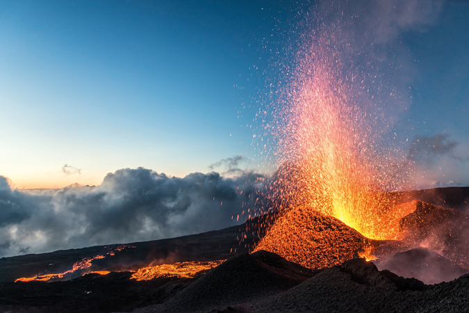
About 400,000 people visit this climbable, active volcano every year. Despite its sulphurous and active reputation, it is pretty accessible to all, whatever your age or fitness level. Clearly though, the fitter and more sure-footed you are, the more of an up-close and personal experience you are going to be get.
You can drive to the rim of the external crater and simply gaze at the peak in the distance. Alternatively, if you have the time, you can climb it, starting from the waves lapping at its base in the Indian Ocean, and ultimately reaching the summit which is often in the clouds.
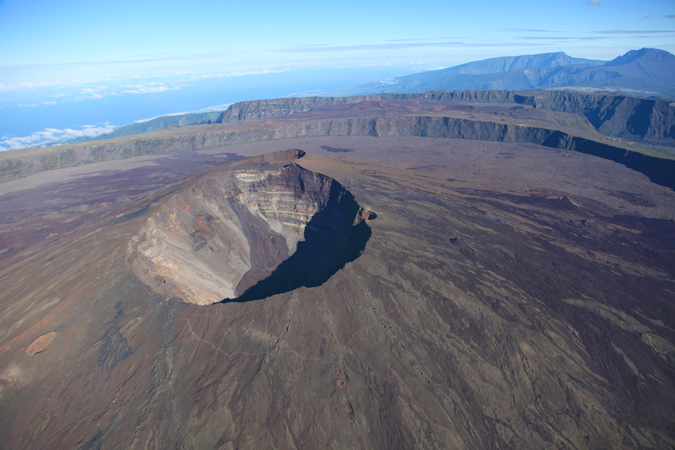
If you travel by car you will eventually arrive at the Plaine des Sables, which roughly translates to ‘plain sands’, an apt description for the wasteland of highly acidic volcanic sand in which nothing grows. For our own adventure, we had originally opted to drive to have a quick look from the viewing point, but as soon as I saw Piton de la Fournaise, I knew I had to climb it!
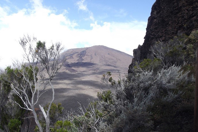
It was Easter weekend and there were tourists of all ages, shapes, sizes and nationalities who had come to marvel at the volcano at the viewing point. We left many of these tourists behind as only the more intrepid ventured down the five hundred or so steps of the outer crater, Enclos Foucque, to the caldera floor and on to the tiny crater Formica Leo – named for the similarity of its shape to the pitfalls built by antlions – formed during an 18th-century eruption.
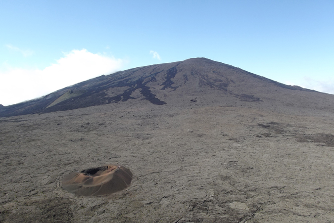
All around us the seemingly endless lava plateau surrounded the central crater, Dolomieu, which loomed 350m above the caldera floor. Square kilometres of black and oxidized lava encompassed us, forming amazing shapes and giving the landscape an extraterrestrial, frozen-in-time look.
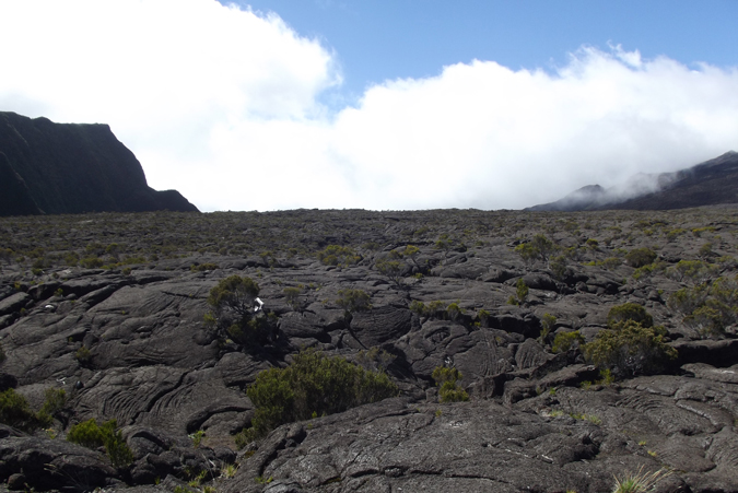
Once we reached the external crater floor we were faced with two options:
To the right was the shortest and steepest route to the top, which would take us directly to the summit, Crater Bory. To the left was the less strenuous, but longer and far more popular, route to the top. My guide, Nico, informed me that the left route could take about five hours.
“Longer if you talk a lot!” he added. Since as I do talk – a LOT – we opted for the shorter, but steeper, approach on the right. The path had mostly been obliterated by eruptions the previous year, so we were charting a new route.
Scrambling over the razor-sharp and brittle lava, we made it to the top pretty quickly and had the luxury of the place to ourselves. Sitting on the lip of the crater with our feet almost dangling over the abyss, we could just make out the people who had used the slower route to the left a kilometre away on the other side of the 300m-deep crater.
Sheer cliffs fell away to the still smouldering crater below where steam rose through vents in the earth, rising up to meet the clouds that tumbled down over the rim.
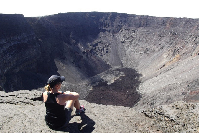
We sat for an hour, silently marvelling at the dramatic, barren landscape, thinking of the raw power of the volcano that had created this entire island. I had seen photos of ‘The Volcano’ (le Volcon as referred to by the locals), but nothing had prepared me for the reality of this other-worldly experience.
Finally, we hiked our way back over frozen waves of solidified lava and crushed volcanic rocks. I realised how apt the name ‘furnace’ was for this volcano that had produced the landscape of melted rocks and glass that surrounded us in every direction.
My trip to Reunion was arranged by The Reunion Tourism Board whose website has a great deal of helpful information about the many aspects of this amazing destination and whose photos I was authorized to use. Nicolas Cyprien was my guide while trekking Piton de la Fournaise.
To comment on this story: Login (or sign up) to our app here - it's a troll-free safe place 🙂.![]()


